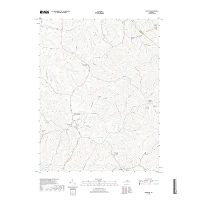
2019 Map of Owenton
USGS Topo · Published 2019About this map
Owenton serves as the focal point of this 2019 survey, situated at the junction of several historic routes and surrounded by the deeply dissected landscape of Owen County. The town’s social and commemorative history is well-documented through sites like the Owenton Independent Order of Odd Fellows Cem and the Forsee Cem. Beyond the town center, the landscape transitions into agricultural ridges and winding creek valleys, including the prominent Harris Ridge and the waters of Stevens Creek.
Find a feature on this map
63 named features on this map. Tap any name to fly to it.
Don’t see what you’re looking for? This feature index may not catch every label — zoom into the map to look around manually.
Map Details
Editions of this 2019 Owenton Map
This is the sole edition of this map. No revisions or reprints were ever made.
Other maps of this area

1906 · Lockport
USGS Topo · 1:48,000

1908 · Lockport
USGS Topo · 1:62,500

1939 · Sadieville
USGS Topo · 1:62,500

1950 · New Liberty
USGS Topo · 1:24,000

1950 · Glencoe
USGS Topo · 1:24,000

1950 · Elliston
USGS Topo · 1:24,000

1950 · Owenton
USGS Topo · 1:24,000

1950 · Lawrenceville
USGS Topo · 1:24,000

1951 · Sanders
USGS Topo · 1:24,000

1953 · Monterey
USGS Topo · 1:24,000