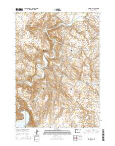
2014 Map of Owyhee Dam
USGS Topo · Published 2014About this map
Owyhee Dam and the northern reaches of Lake Owyhee dominate this high-desert landscape in Malheur County. The 2014 survey reveals an intricate network of water management infrastructure essential to the region's agricultural economy. This includes the massive Owyhee Siphon, the Snively Siphon, and several underground conduits such as Tunnel Number 1 and Tunnel Number 3. The terrain is characterized by dramatic geological formations, including Deer Butte and the distinctive Balancing Rock overlooking the river. Natural thermal features like Snively Hot Spring and the Hot Spring near Owyhee Siphon are mapped alongside drainage features such as Snively Gulch and Black Willow Gulch. Numerous smaller impoundments, including Chaney Reservoir and Four Points Reservoir, reflect the ongoing efforts to manage water across these arid volcanic uplands.
Find a feature on this map
38 named features on this map. Tap any name to fly to it.
Don’t see what you’re looking for? This feature index may not catch every label — zoom into the map to look around manually.
Map Details
Editions of this 2014 Owyhee Dam Map
This is the sole edition of this map. No revisions or reprints were ever made.
Other maps of this area
1906 · Mitchell Butte
USGS Topo · 1:125,000
1955 · Boise
USGS Topo · 1:250,000
1958 · Boise
USGS Topo · 1:250,000
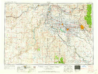
1962 · Boise
USGS Topo · 1:250,000
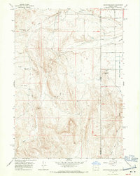
1967 · Graveyard Point
USGS Topo · 1:24,000
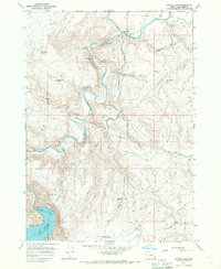
1967 · Owyhee Dam
USGS Topo · 1:24,000
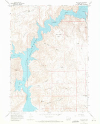
1967 · The Elbow
USGS Topo · 1:24,000
1967 · Double Mtn
USGS Topo · 1:24,000
1967 · Adrian
USGS Topo · 1:24,000
1967 · Owyhee
USGS Topo · 1:24,000