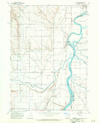
1967 Map of Owyhee
USGS Topo · Published 1971About this map
The confluence of the Snake River, Boise River, and Owyhee River creates a complex hydrological landscape in this late 1960s survey of the Oregon-Idaho border. The area is defined by a sophisticated irrigation network necessary for high-desert agriculture, featuring the Owyhee Canal, numerous aqueducts, siphons, and the Owyhee Pumping Station. These man-made features contrast with the natural islands of the Snake River, such as Goose Egg Island and Billy Goat Island, and the protected wetlands of the Deer Flat National Wildlife Refuge.
Find a feature on this map
43 named features on this map. Tap any name to fly to it.
Don’t see what you’re looking for? This feature index may not catch every label — zoom into the map to look around manually.
Map Details
Editions of this 1967 Owyhee Map
2 editions found
Other maps of this area

1898 · Nampa
USGS Topo · 1:125,000

1906 · Mitchell Butte
USGS Topo · 1:125,000

1955 · Boise
USGS Topo · 1:250,000

1957 · Wilder
USGS Topo · 1:24,000

1958 · Boise
USGS Topo · 1:250,000

1962 · Boise
USGS Topo · 1:250,000
1965 · Nyssa
USGS Topo · 1:24,000
1965 · Parma
USGS Topo · 1:24,000
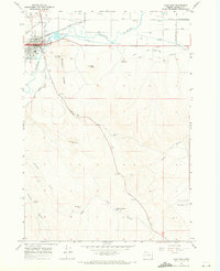
1967 · Vale East
USGS Topo · 1:24,000
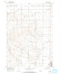
1967 · Cairo
USGS Topo · 1:24,000