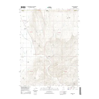
2014 Map of Owyhee
USGS Topo · Published 2014About this map
Owyhee serves as the central hub on this northern Elko County landscape, where the Owyhee River flows past the Duck Valley Indian Reservation. The map details a vital water management system through the Agency Canal, Main Canal, and Thacker Slough, reflecting the agricultural foundation of the region. Local heritage is grounded in landmarks like the George Washington Cemetery and the New Cemetery, which provide specific points of interest for genealogists and family historians.
Find a feature on this map
94 named features on this map. Tap any name to fly to it.
Don’t see what you’re looking for? This feature index may not catch every label — zoom into the map to look around manually.
Map Details
Editions of this 2014 Owyhee Map
This is the sole edition of this map. No revisions or reprints were ever made.
Other maps of this area
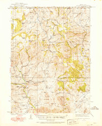
1936 · Mountain City
USGS Topo · 1:62,500
1939 · Owyhee
USGS Topo · 1:62,500
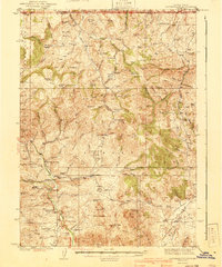
1940 · Mountain City
USGS Topo · 1:62,500
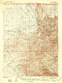
1942 · Owyhee
USGS Topo · 1:62,500
1955 · McDermitt
USGS Topo · 1:250,000
1955 · Jordan Valley
USGS Topo · 1:250,000
1955 · Twin Falls
USGS Topo · 1:250,000
1955 · Wells
USGS Topo · 1:250,000
1957 · Jordan Valley
USGS Topo · 1:250,000
1958 · Wells
USGS Topo · 1:250,000