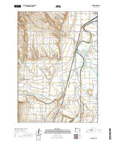
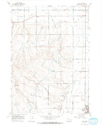
2020 Map of Owyhee
USGS Topo · Published 2020About this map
The Snake River carves a winding path along the Oregon-Idaho border, defining a landscape of complex irrigation and river islands near Nyssa. This map documents a dense network of water management features, including the Owyhee Ditch, Mitchell Butte Lateral, and Kingman Drain, which support the agricultural plateaus of Lincoln Bench and Nyssa Bench. Along the riverbanks, a series of named islands like Prati Island, Big Cottonwood Island, and the curiously named Silly Goat Island appear as the river system shifts and branches. Near the junction of the Owyhee River and the main channel, the settlement of Owyhee and the Owyhee Cem provide specific points of interest for genealogists tracing local families. The presence of Beet Dump Rd points to the area's deep-rooted sugar beet industry and the logistical infrastructure required to move crops from the benches to market.
Find a feature on this map
93 named features on this map. Tap any name to fly to it.
Don’t see what you’re looking for? This feature index may not catch every label — zoom into the map to look around manually.
Map Details
Editions of this 2020 Owyhee Map
This is the sole edition of this map. No revisions or reprints were ever made.
Other maps of this area

1898 · Nampa
USGS Topo · 1:125,000

1906 · Mitchell Butte
USGS Topo · 1:125,000

1955 · Boise
USGS Topo · 1:250,000

1957 · Wilder
USGS Topo · 1:24,000

1958 · Boise
USGS Topo · 1:250,000

1962 · Boise
USGS Topo · 1:250,000
1965 · Nyssa
USGS Topo · 1:24,000
1965 · Parma
USGS Topo · 1:24,000
1967 · Vale East
USGS Topo · 1:24,000
1967 · Cairo
USGS Topo · 1:24,000