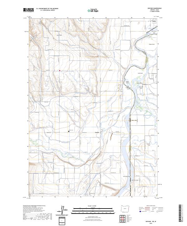
2024 Map of Owyhee
USGS Topo · Published 2024About this map
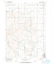
Nyssa stands at the northern edge of this agricultural landscape in Malheur County, where the Snake River forms the winding border between Oregon and Idaho. The map reveals an intricate irrigation network essential to local farming, including the Owyhee Ditch, Mitchell Butte Lateral, and North Canal. These man-made waterways cut across the elevated terrain of Nyssa Bench and Lincoln Bench, feeding the fields surrounding the small settlement of Owyhee.
Find a feature on this map
96 named features on this map. Tap any name to fly to it.
Don’t see what you’re looking for? This feature index may not catch every label — zoom into the map to look around manually.
Map Details
Editions of this 2024 Owyhee Map
This is the sole edition of this map. No revisions or reprints were ever made.
Other maps of this area

1898 · Nampa
USGS Topo · 1:125,000

1906 · Mitchell Butte
USGS Topo · 1:125,000

1955 · Boise
USGS Topo · 1:250,000

1957 · Wilder
USGS Topo · 1:24,000

1958 · Boise
USGS Topo · 1:250,000

1962 · Boise
USGS Topo · 1:250,000
1965 · Nyssa
USGS Topo · 1:24,000
1965 · Parma
USGS Topo · 1:24,000
1967 · Vale East
USGS Topo · 1:24,000
1967 · Cairo
USGS Topo · 1:24,000