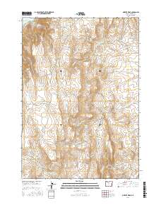
2017 Map of Owyhee Ridge
USGS Topo · Published 2017About this map
Lake Owyhee dominates the northwestern corner of this high-desert landscape in Malheur County, where the terrain is defined by the prominent Owyhee Ridge and Board Corral Mtn. This 2017 U.S. Geological Survey topographic study reveals an arid environment managed for water through an intricate system of small catchments and reservoirs, such as Birch Cr Reservoir, Stark Reservoir, and Bas Reservoir. The network of intermittent drainages like N Alkali Cr and Camp Kettle Cr flow through deep erosional features like Buck Gulch and the narrow passage at Devils Gate. Water is the primary driver of movement and naming conventions here, with numerous isolated water sources including Three Fingers Spring, Monument Spring, and Board Corral Spring providing vital points of reference across the high plateaus. Primitive routes such as Fisherman Rd and Camp Kettle Creek Rd provide the only access through this desolate expanse of the Oregon high desert.
Find a feature on this map
44 named features on this map. Tap any name to fly to it.
Don’t see what you’re looking for? This feature index may not catch every label — zoom into the map to look around manually.
Map Details
Editions of this 2017 Owyhee Ridge Map
This is the sole edition of this map. No revisions or reprints were ever made.
Other maps of this area
1906 · Mitchell Butte
USGS Topo · 1:125,000
1955 · Boise
USGS Topo · 1:250,000
1958 · Boise
USGS Topo · 1:250,000
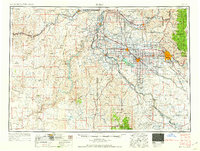
1962 · Boise
USGS Topo · 1:250,000
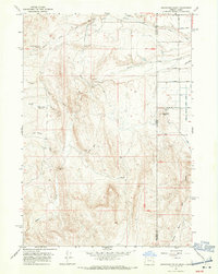
1967 · Graveyard Point
USGS Topo · 1:24,000
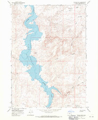
1967 · Pelican Point
USGS Topo · 1:24,000
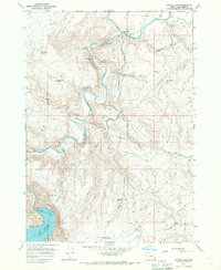
1967 · Owyhee Dam
USGS Topo · 1:24,000
1967 · Pole Creek Top
USGS Topo · 1:24,000
1967 · The Elbow
USGS Topo · 1:24,000
1967 · Adrian
USGS Topo · 1:24,000