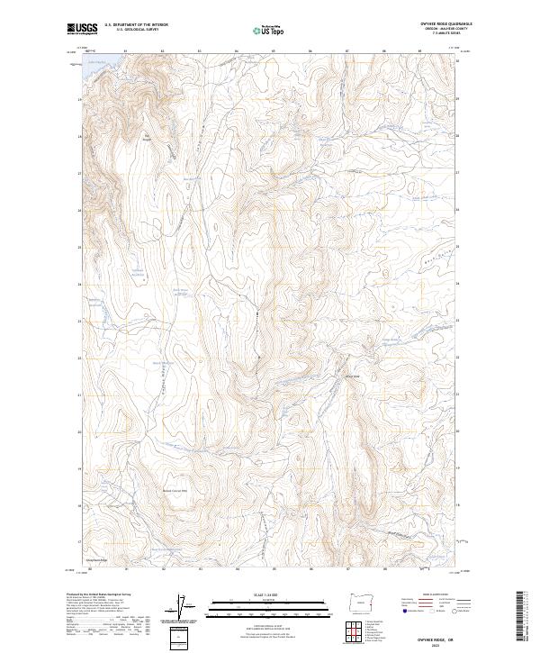
2023 Map of Owyhee Ridge
USGS Topo · Published 2023About this map
Owyhee Ridge dominates this high-desert landscape in eastern Oregon, where a sophisticated network of water management features supports life in the arid Malheur County terrain. Numerous man-made catchments including Calhoun Reservoir, Rock Fence Reservoir, and Bench Reservoir are scattered across the uplands, highlighting the area's reliance on collected runoff. The topography is defined by dramatic landforms such as The Tongue, which projects into the northern waters of Lake Owyhee, and the prominent rise of Board Corral Mtn to the south.
Find a feature on this map
45 named features on this map. Tap any name to fly to it.
Don’t see what you’re looking for? This feature index may not catch every label — zoom into the map to look around manually.
Map Details
Editions of this 2023 Owyhee Ridge Map
This is the sole edition of this map. No revisions or reprints were ever made.
Other maps of this area

1906 · Mitchell Butte
USGS Topo · 1:125,000

1955 · Boise
USGS Topo · 1:250,000

1958 · Boise
USGS Topo · 1:250,000

1962 · Boise
USGS Topo · 1:250,000
1967 · Graveyard Point
USGS Topo · 1:24,000

1967 · Pelican Point
USGS Topo · 1:24,000
1967 · Owyhee Dam
USGS Topo · 1:24,000
1967 · Pole Creek Top
USGS Topo · 1:24,000
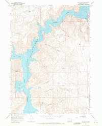
1967 · The Elbow
USGS Topo · 1:24,000
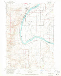
1967 · Adrian
USGS Topo · 1:24,000