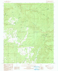
1990 Map of Oxbow Mountain
USGS Topo · Published 1991About this map
Tonto National Forest land defines this landscape, where the prominent Naegelin Rim overlooks a complex system of canyons and mountain springs. The terrain is marked by significant topographical shifts between Gordon Canyon and Hog Canyon, supporting a network of water sources vital for both the local ecosystem and human use, including Saunders Spring, McInturff Spring, and several named tanks like Oxbow Mountain Tank.
Find a feature on this map
51 named features on this map. Tap any name to fly to it.
Don’t see what you’re looking for? This feature index may not catch every label — zoom into the map to look around manually.
Map Details
Editions of this 1990 Oxbow Mountain Map
2 editions found
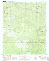
Other maps of this area

1886 · Holbrook
USGS Topo · 1:250,000

1887 · Verde
USGS Topo · 1:250,000

1892 · Verde
USGS Topo · 1:250,000

1893 · Holbrook
USGS Topo · 1:250,000

1934 · Promontory Butte
USGS Topo · 1:62,500

1937 · Diamond Butte
USGS Topo · 1:48,000

1939 · Promontory Butte
USGS Topo · 1:62,500

1943 · Diamond Butte
USGS Topo · 1:62,500

1952 · Promontory Butte
USGS Topo · 1:62,500

1954 · Holbrook
USGS Topo · 1:250,000