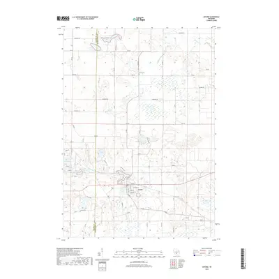
2018 Map of Oxford
USGS Topo · Published 2018About this map
The village of Oxford serves as the central hub of this Marquette County landscape, situated where Neenah Cr feeds into Oxford Lake. The area's glacial geography is defined by a dense cluster of kettle lakes and wetlands, including Wolf Lake, Hill Lake, and Emrick Lake, which sit just east of the Adams County and Marquette County border. The settlement pattern follows a grid of rural routes such as Co Rd J and Co Rd D, which connect the village to the surrounding agricultural land.
Find a feature on this map
43 named features on this map. Tap any name to fly to it.
Don’t see what you’re looking for? This feature index may not catch every label — zoom into the map to look around manually.
Map Details
Editions of this 2018 Oxford Map
This is the sole edition of this map. No revisions or reprints were ever made.
Other maps of this area

1902 · Portage
USGS Topo · 1:62,500

1902 · Briggsville
USGS Topo · 1:62,500

1957 · Madison
USGS Topo · 1:250,000

1958 · Briggsville
USGS Topo · 1:62,500

1960 · Madison
USGS Topo · 1:250,000

1961 · Oxford
USGS Topo · 1:62,500

1961 · Montello
USGS Topo · 1:62,500

1962 · Portage
USGS Topo · 1:62,500
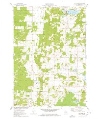
1975 · Big Spring
USGS Topo · 1:24,000
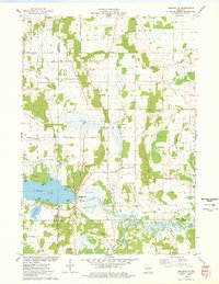
1975 · Briggsville
USGS Topo · 1:24,000