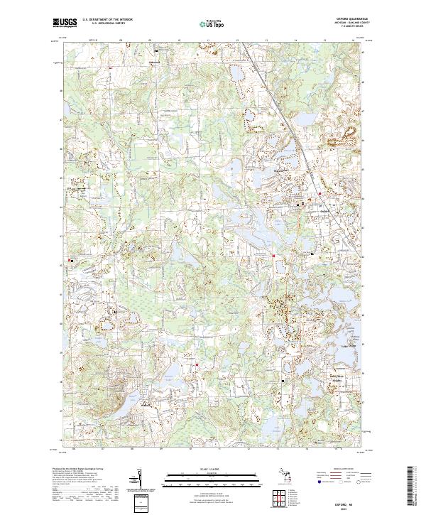
2023 Map of Oxford
USGS Topo · Published 2023About this map
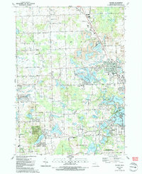
Oxford serves as the central hub of this northern Oakland County landscape, where the village's grid transitions into a lake-studded glacial terrain. The area is defined by its numerous water bodies, ranging from the large Lake Orion and its distinct Victoria Island in the south to the secluded Lost Lake and Lonesome Lake further afield. This modern survey illustrates the persistent importance of local cemeteries for genealogists, with several family and township plots documented, including Ridgelawn Memorial Cem, Oxford Township Cem, and the Seymour Lake Cem located near the western boundary.
Find a feature on this map
59 named features on this map. Tap any name to fly to it.
Don’t see what you’re looking for? This feature index may not catch every label — zoom into the map to look around manually.
Map Details
Editions of this 2023 Oxford Map
This is the sole edition of this map. No revisions or reprints were ever made.
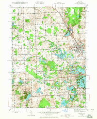
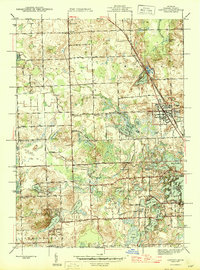
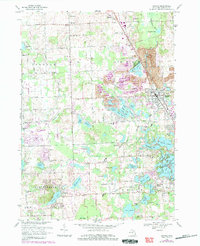
Historical Maps of Oxford Through Time
5 maps found
Featured Locations
- Independence Charter Township, MI
- Orion Charter Township, MI
- Oxford Charter Township, MI
- Lake Orion, MI
- Oxford, Oxford Charter Township