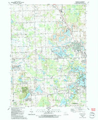
1991 Map of Oxford
USGS Topo · Published 1991About this map
Glacial topography defines the landscape around Oxford, where a dense concentration of kettle lakes and gravel mining operations shape the local geography. Large industrial footprints are visible in the form of multiple Gravel Pit sites, particularly around Stony Lake and north of Oxford Park. These pits are positioned alongside the Grand Trunk Western RR and the remnants of an Old Railroad Grade, illustrating the relationship between natural resources and transport infrastructure.
Find a feature on this map
100 named features on this map. Tap any name to fly to it.
Don’t see what you’re looking for? This feature index may not catch every label — zoom into the map to look around manually.
Map Details
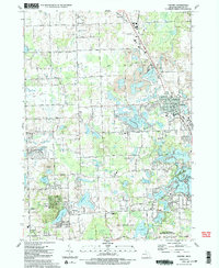
Editions of this 1991 Oxford Map
2 editions found
Other maps of this area

1907 · Pontiac
USGS Topo · 1:62,500

1908 · Rochester
USGS Topo · 1:62,500

1936 · Clarkston
USGS Topo · 1:31,680

1936 · Rochester
USGS Topo · 1:31,680

1936 · Pontiac North
USGS Topo · 1:31,680

1943 · Clarkston
USGS Topo · 1:24,000

1943 · Pontiac North
USGS Topo · 1:24,000

1943 · Ortonville
USGS Topo · 1:24,000

1943 · Lake Orion
USGS Topo · 1:24,000

1943 · Oxford
USGS Topo · 1:24,000
Featured Places
- Orion Charter Township, MI
- Independence Charter Township, MI
- Oxford Charter Township, MI
- Oxford, MI
- Lake Orion, MI