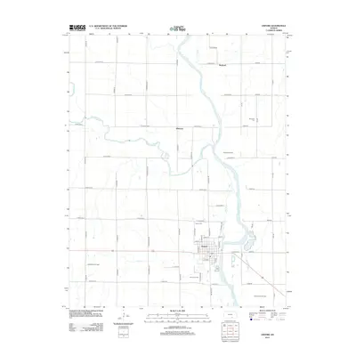
2012 Map of Oxford
USGS Topo · Published 2012About this map
Oxford sits at the confluence of the Arkansas River and the Ninnescah River in Sumner County, a landscape defined by its agricultural grid and rich petroleum history. This 2012 survey illustrates the extensive energy infrastructure surrounding the town, including the Oxford Oil Field and the Churchill Oil Field to the north. The town site itself is intricately detailed, showing the local Po and street layout from Elm St to Buss St, while the nearby Mill Race suggests the legacy of water-powered industry along the riverbanks. Beyond the main settlement, smaller locales like Whitman and Bushnell punctuate the rural sections. Genealogists can locate several burial sites including the Oxford Cem just north of town and the Ninnescah Cem situated further east near 102nd Rd, providing a clear view of the area's community structure and rural development.
Find a feature on this map
58 named features on this map. Tap any name to fly to it.
Don’t see what you’re looking for? This feature index may not catch every label — zoom into the map to look around manually.
Map Details
Editions of this 2012 Oxford Map
This is the sole edition of this map. No revisions or reprints were ever made.
Other maps of this area
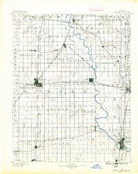
1890 · Wellington
USGS Topo · 1:125,000
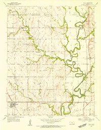
1955 · Udall
USGS Topo · 1:24,000
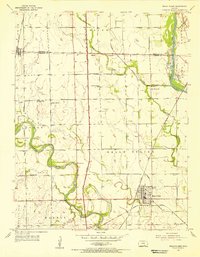
1955 · Belle Plaine
USGS Topo · 1:24,000
1955 · Mulvane
USGS Topo · 1:24,000
1955 · Wichita
USGS Topo · 1:250,000
1958 · Wichita
USGS Topo · 1:250,000
1964 · South Haven NE
USGS Topo · 1:24,000
1964 · Dalton
USGS Topo · 1:24,000
1965 · Adamsville
USGS Topo · 1:24,000
1965 · Hackney
USGS Topo · 1:24,000