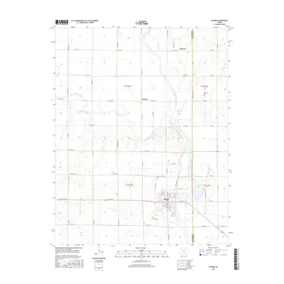
2015 Map of Oxford
USGS Topo · Published 2015About this map
The confluence of the Arkansas River and Ninnescah River anchors this 2015 study of south-central Kansas. The town of Oxford sits just west of the Arkansas, organized around a grid that includes N Illinois Ave and Wea St. The presence of the Mill Race and the proximity to Lost Cr highlight the historical importance of local water management and drainage in this river-bottom landscape. Smaller settlement nodes like Whitman and Bushnell are situated along the extensive rural road network, which follows the township and range survey lines characteristic of the Great Plains.
Find a feature on this map
61 named features on this map. Tap any name to fly to it.
Don’t see what you’re looking for? This feature index may not catch every label — zoom into the map to look around manually.
Map Details
Editions of this 2015 Oxford Map
This is the sole edition of this map. No revisions or reprints were ever made.
Other maps of this area
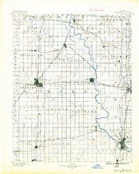
1890 · Wellington
USGS Topo · 1:125,000
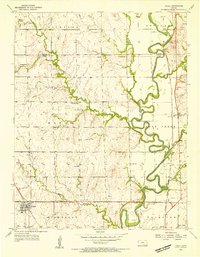
1955 · Udall
USGS Topo · 1:24,000
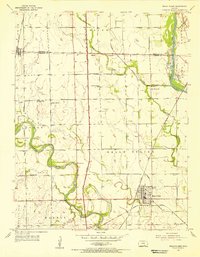
1955 · Belle Plaine
USGS Topo · 1:24,000
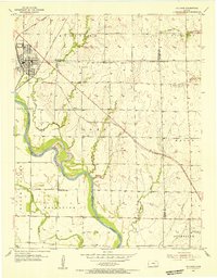
1955 · Mulvane
USGS Topo · 1:24,000
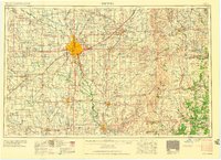
1955 · Wichita
USGS Topo · 1:250,000
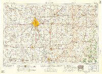
1958 · Wichita
USGS Topo · 1:250,000
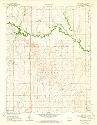
1964 · South Haven NE
USGS Topo · 1:24,000
1964 · Dalton
USGS Topo · 1:24,000
1965 · Adamsville
USGS Topo · 1:24,000
1965 · Hackney
USGS Topo · 1:24,000