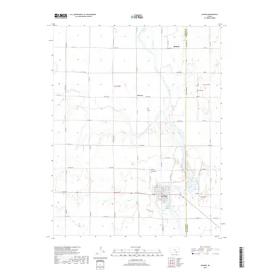
2018 Map of Oxford
USGS Topo · Published 2018About this map
The confluence of the Arkansas River and Ninnescah River anchors this study of the eastern edge of Sumner County. The town of Oxford serves as the primary hub, showing a traditional street grid and proximity to the Oxford Cem. To the north, the small settlements of Whitman and Bushnell occupy the agricultural plains near the Cowley County line. The landscape is defined by its water management and drainage, with features like the Mill Race and numerous creeks such as Antelope Cr and Lost Cr cutting through the sectioned farmland. The transition from the river bottomlands to the surrounding plateaus is traced through a dense network of county roads like N Oxford Rd and Geuda Springs Rd, illustrating the intersection of natural hydrology and rural development in southern Kansas.
Find a feature on this map
59 named features on this map. Tap any name to fly to it.
Don’t see what you’re looking for? This feature index may not catch every label — zoom into the map to look around manually.
Map Details
Editions of this 2018 Oxford Map
This is the sole edition of this map. No revisions or reprints were ever made.
Other maps of this area
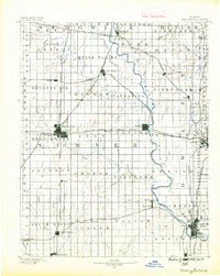
1890 · Wellington
USGS Topo · 1:125,000
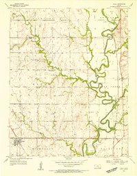
1955 · Udall
USGS Topo · 1:24,000
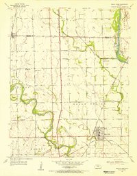
1955 · Belle Plaine
USGS Topo · 1:24,000
1955 · Mulvane
USGS Topo · 1:24,000
1955 · Wichita
USGS Topo · 1:250,000
1958 · Wichita
USGS Topo · 1:250,000
1964 · South Haven NE
USGS Topo · 1:24,000
1964 · Dalton
USGS Topo · 1:24,000
1965 · Adamsville
USGS Topo · 1:24,000
1965 · Hackney
USGS Topo · 1:24,000