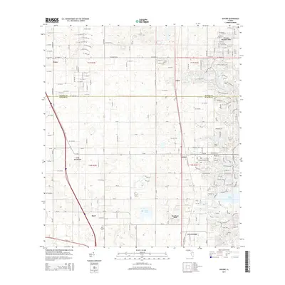
2015 Map of Oxford
USGS Topo · Published 2015About this map
Oxford and its surrounding Florida communities are captured here in a period of significant residential expansion along the Marion and Sumter County line. The map illustrates a landscape transitioning from the traditional agricultural and open spaces of Long Hammock into dense residential developments like Blossom Hills and Orange. This shift is particularly visible in the southeastern portion of the map, where the northern edges of Wildwood meet established local landmarks such as Moreland Park and the shores of Lake Miona.
Find a feature on this map
199 named features on this map. Tap any name to fly to it.
Don’t see what you’re looking for? This feature index may not catch every label — zoom into the map to look around manually.
Map Details
Editions of this 2015 Oxford Map
This is the sole edition of this map. No revisions or reprints were ever made.
Other maps of this area

1893 · Panasoffkee
USGS Topo · 1:62,500

1895 · Panasoffkee
USGS Topo · 1:62,500

1895 · Ocala
USGS Topo · 1:62,500

1954 · Gainesville
USGS Topo · 1:250,000

1954 · Daytona Beach
USGS Topo · 1:250,000

1955 · Plant City
USGS Topo · 1:250,000

1955 · Orlando
USGS Topo · 1:250,000

1957 · Orlando
USGS Topo · 1:250,000

1958 · Orlando
USGS Topo · 1:250,000

1958 · Daytona Beach
USGS Topo · 1:250,000