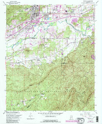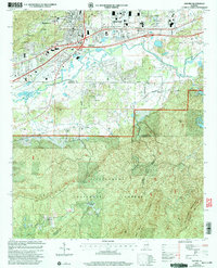
2024 Map of Oxford
USGS Topo · Published 2024About this map
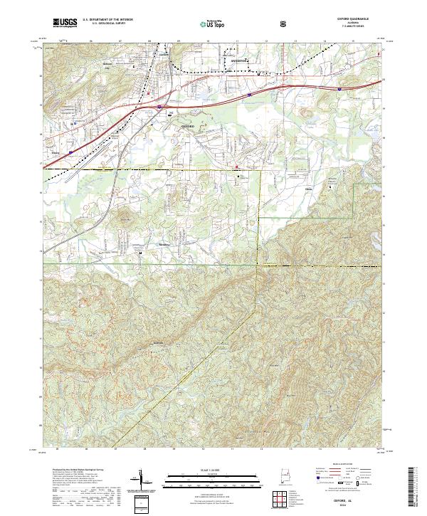
Oxford and Anniston serve as the anchors of this northeast Alabama landscape, where the urban development of the Interstate 20 corridor transitions abruptly into the protected wilderness of the Talladega National Forest. The northern half of the map is defined by residential and industrial growth, including the Anniston Regional Airport and historic communities like Hobson City and Lardent. Significant local landmarks such as the Antioch Baptist Church Cem Number 1 and Bethlehem Baptist Church Cem offer touchpoints for genealogical research.
Find a feature on this map
59 named features on this map. Tap any name to fly to it.
Don’t see what you’re looking for? This feature index may not catch every label — zoom into the map to look around manually.
Map Details
Editions of this 2024 Oxford Map
This is the sole edition of this map. No revisions or reprints were ever made.
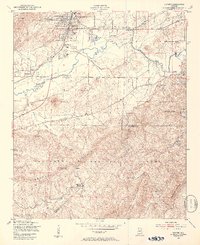
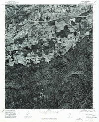
Historical Maps of Lardent Through Time
5 maps found