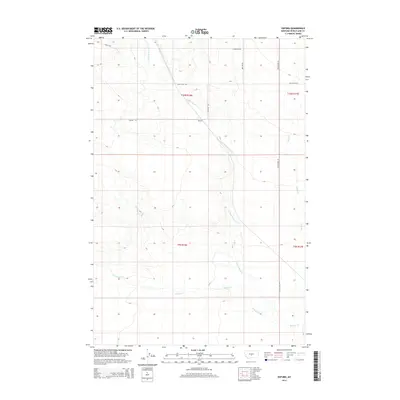
2014 Map of Oxford
USGS Topo · Published 2014About this map
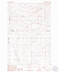
Oxford sits within the high plains of Wheatland County, where the agricultural landscape is defined by the seasonal flow of the E Fork Roberts Cr. This 2014 survey documents a region of Central Montana where the township and range grid dictates the layout of long-distance gravel routes like Judith Gap Rd and Pronghorn Rd. The terrain is shaped by the subtle drainage patterns of Roberts Cr and Blake Cr, which carve shallow paths through the prairie.
Find a feature on this map
14 named features on this map. Tap any name to fly to it.
Don’t see what you’re looking for? This feature index may not catch every label — zoom into the map to look around manually.
Map Details
Editions of this 2014 Oxford Map
This is the sole edition of this map. No revisions or reprints were ever made.
Other maps of this area
1889 · Big Snowy Mountain
USGS Topo · 1:250,000
1893 · Big Snowy Mountain
USGS Topo · 1:250,000

1954 · Roundup
USGS Topo · 1:250,000

1958 · Roundup
USGS Topo · 1:250,000
1986 · Oka
USGS Topo · 1:24,000
1986 · Yaple Bench
USGS Topo · 1:24,000
1986 · Judith Gap
USGS Topo · 1:24,000
1986 · Oxford
USGS Topo · 1:24,000
1986 · Harlowton
USGS Topo · 1:24,000
1986 · Elephant Rocks
USGS Topo · 1:24,000