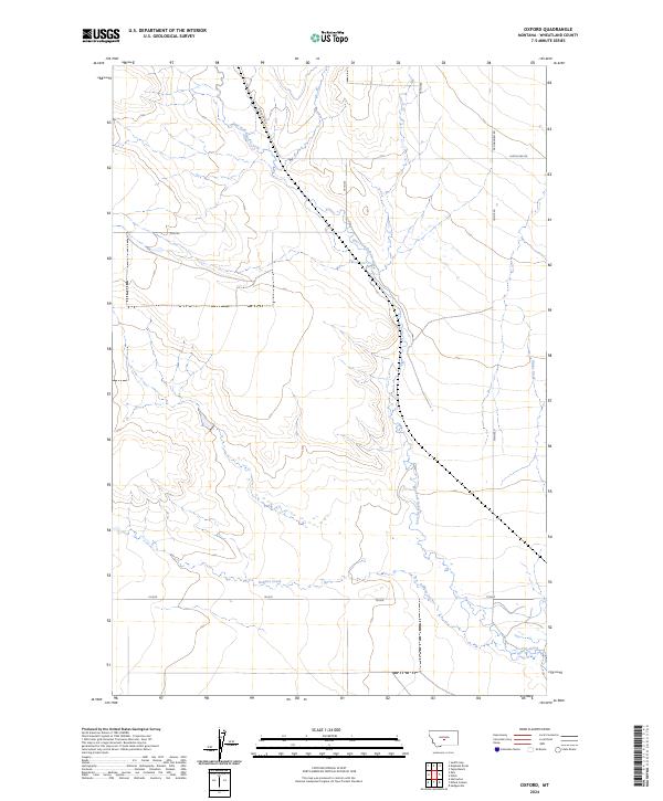
2024 Map of Oxford
USGS Topo · Published 2024About this map
The high plains of Wheatland County are defined by a branching network of prairie waterways, most notably the winding course of East Fork Roberts Creek. This drainage system, which eventually converges with Roberts Creek in the southern portion of the quadrangle, dictates the layout of local travel and land divisions. The terrain is sparsely populated, characterized by the wide-open spaces typical of central Montana where water access is the primary shaper of the landscape. Long-established travel routes such as Judith Gap Rd and Pronghorn Rd cut across the geometric grid of the Public Land Survey System, providing essential connectivity between the isolated ranchlands and larger regional hubs. To the east, the headwaters of Blake Creek begin their descent, marking a subtle divide in this high-altitude drainage basin.
Find a feature on this map
9 named features on this map. Tap any name to fly to it.
Don’t see what you’re looking for? This feature index may not catch every label — zoom into the map to look around manually.
Map Details
Editions of this 2024 Oxford Map
This is the sole edition of this map. No revisions or reprints were ever made.
Other maps of this area

1889 · Big Snowy Mountain
USGS Topo · 1:250,000

1893 · Big Snowy Mountain
USGS Topo · 1:250,000

1954 · Roundup
USGS Topo · 1:250,000

1958 · Roundup
USGS Topo · 1:250,000
1986 · Oka
USGS Topo · 1:24,000
1986 · Yaple Bench
USGS Topo · 1:24,000
1986 · Judith Gap
USGS Topo · 1:24,000
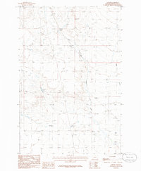
1986 · Oxford
USGS Topo · 1:24,000
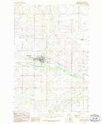
1986 · Harlowton
USGS Topo · 1:24,000
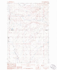
1986 · Elephant Rocks
USGS Topo · 1:24,000