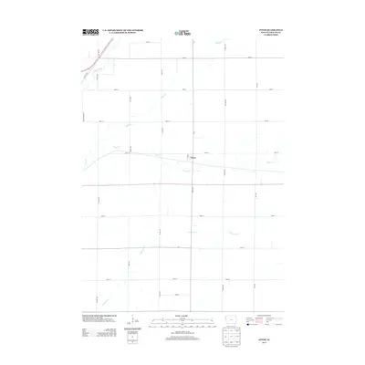
2013 Map of Oyens
USGS Topo · Published 2013About this map
Oyens serves as the central hub of this Plymouth County landscape, where the town's grid meets the expansive agricultural section lines of northwest Iowa. The drainage pattern of the region is defined by several key waterways, including the Floyd River crossing the northwest corner and the meandering courses of Deep Cr and Willow Cr. This 2013 survey illustrates the highly organized road network typical of the Prairie Plains, where arterial routes like k64 and c30 intersect with numerous named gravel roads such as Otter Ave and Noble Ave. The map captures the interface between the small-town residential layout of Oyens and the surrounding farmland, drained to the south by Plymouth Cr.
Find a feature on this map
26 named features on this map. Tap any name to fly to it.
Don’t see what you’re looking for? This feature index may not catch every label — zoom into the map to look around manually.
Map Details
Editions of this 2013 Oyens Map
This is the sole edition of this map. No revisions or reprints were ever made.
Other maps of this area

1954 · Fort Dodge
USGS Topo · 1:250,000
1955 · Sioux City
USGS Topo · 1:250,000
1957 · Fort Dodge
USGS Topo · 1:250,000
1958 · Sioux City
USGS Topo · 1:250,000
1958 · Fort Dodge
USGS Topo · 1:250,000
1959 · Sioux City
USGS Topo · 1:250,000
1962 · Le Mars
USGS Topo · 1:62,500
1962 · Union Center
USGS Topo · 1:62,500
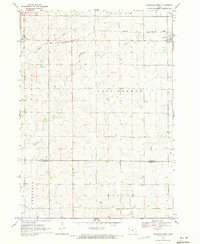
1969 · Granville West
USGS Topo · 1:24,000
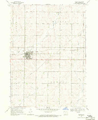
1969 · Remsen
USGS Topo · 1:24,000