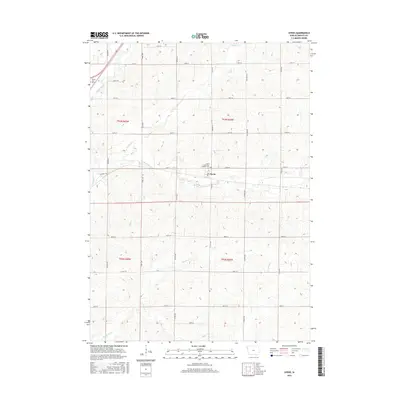
2015 Map of Oyens
USGS Topo · Published 2015About this map
Oyens serves as a focal point in this section of Plymouth County, situated along the section lines of the township grid. The town is marked by its Po and is adjacent to the Saint Catherines Catholic Cem. This landscape is defined by the agricultural layout common to the Iowa plains, where a precise network of roads like Co Rd K64 and 160th St divide the land into square miles. Waterways such as Willow Cr, Deep Cr, and Plymouth Cr carve gentle paths across these fields, converging toward the Floyd River in the northwest corner. Near the river, the small settlement of Seney and the Seney City Cem mark another localized hub of activity, illustrating how early development followed both natural drainage and the later, rigid survey lines.
Find a feature on this map
32 named features on this map. Tap any name to fly to it.
Don’t see what you’re looking for? This feature index may not catch every label — zoom into the map to look around manually.
Map Details
Editions of this 2015 Oyens Map
This is the sole edition of this map. No revisions or reprints were ever made.
Other maps of this area

1954 · Fort Dodge
USGS Topo · 1:250,000
1955 · Sioux City
USGS Topo · 1:250,000
1957 · Fort Dodge
USGS Topo · 1:250,000
1958 · Sioux City
USGS Topo · 1:250,000
1958 · Fort Dodge
USGS Topo · 1:250,000
1959 · Sioux City
USGS Topo · 1:250,000
1962 · Le Mars
USGS Topo · 1:62,500
1962 · Union Center
USGS Topo · 1:62,500
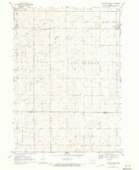
1969 · Granville West
USGS Topo · 1:24,000
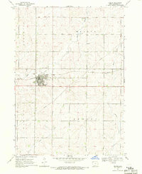
1969 · Remsen
USGS Topo · 1:24,000