
1897 Map of Oyster Bay
USGS Topo · Published 1963About this map
Long Island Sound serves as the central focal point for this late 19th-century study, illustrating the intricate shoreline of the North Shore and Westchester County. The maritime infrastructure is prominent, featuring Sands Point Light and Execution Rocks L.H. guarding the approaches to Manhasset Bay and Hempstead Harbor. The map captures the region at a pivotal moment when seasonal estates and growing commuter hubs were reshaping the landscape. Inland, the Long Island RR and the New York New Haven and Hartford RR provide the essential lifelines for towns like Mamaroneck and Glen Cove. From the varied topography of Harbor Hill to the complex inlets of Oyster Bay, the survey documents a coastal economy shifting toward suburban development, with named landings like Glenwood Landing and Glen Cove Landing still marking the water’s edge.
Find a feature on this map
104 named features on this map. Tap any name to fly to it.
Don’t see what you’re looking for? This feature index may not catch every label — zoom into the map to look around manually.
Map Details
Editions of this 1897 Oyster Bay Map
This is the sole edition of this map. No revisions or reprints were ever made.
Historical Maps of Rosedale Through Time
15 maps found

1897 Hempstead
Nassau County, NY
1897 Oyster Bay
Nassau County, NY

1898 Hempstead
Nassau County, NY

1898 Oyster Bay
Nassau County, NY

1899 Hempstead
Nassau County, NY
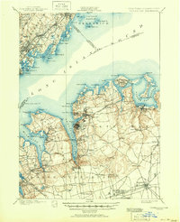
1900 Oyster Bay
Nassau County, NY
1903 Hempstead
Nassau County, NY
1947 Jones Beach
Nassau County, NY
1947 Jones Inlet
Nassau County, NY
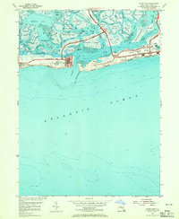
1954 Jones Inlet
Nassau County, NY
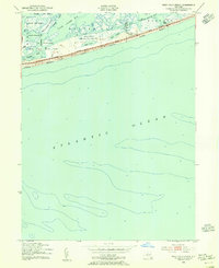
1954 West Gilgo Beach
Nassau County, NY
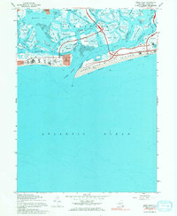
1967 Jones Inlet
Nassau County, NY
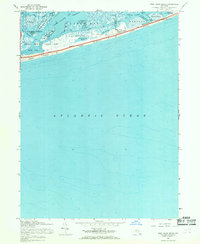
1967 West Gilgo Beach
Nassau County, NY
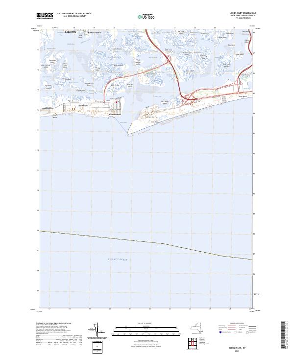
2023 Jones Inlet
Nassau County, NY
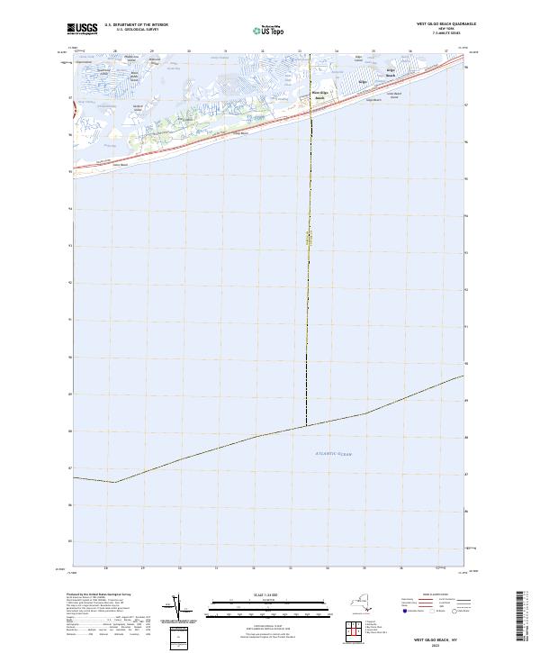
2023 West Gilgo Beach
Nassau County, NY