
1898 Map of Oyster Bay
USGS Topo · Published 1898About this map
Long Island Sound dominates this late-nineteenth-century coastal study, separating the affluent north shore of Long Island from the established waterfront towns of Westchester County and Connecticut. The maritime character of the region is defined by the deep indentations of Oyster Bay Harbor, Hempstead Harbor, and Manhasset Bay, which served as vital centers for commerce and recreation. On the Long Island side, the developing estates and villages of Sea Cliff, Glen Cove, and Roslyn are intricately mapped, showing a landscape of burgeoning suburbanization served by the Long Island R. R. and its branches. Across the water, the New York-Connecticut boundary line passes just south of the Great Captain Id. group, anchoring the map to the mainland settlements of Port Chester, Rye, and Mamaroneck. The presence of the Sands Point Light at the tip of the peninsula highlights the ongoing importance of navigational aids in these busy waters during the Gilded Age.
Find a feature on this map
102 named features on this map. Tap any name to fly to it.
Don’t see what you’re looking for? This feature index may not catch every label — zoom into the map to look around manually.
Map Details
Editions of this 1898 Oyster Bay Map
This is the sole edition of this map. No revisions or reprints were ever made.
Historical Maps of Rosedale Through Time
15 maps found

1897 Hempstead
Nassau County, NY

1897 Oyster Bay
Nassau County, NY

1898 Hempstead
Nassau County, NY
1898 Oyster Bay
Nassau County, NY

1899 Hempstead
Nassau County, NY
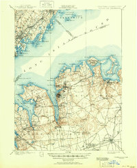
1900 Oyster Bay
Nassau County, NY
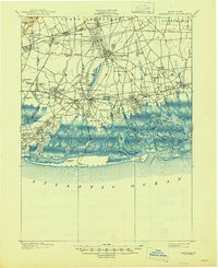
1903 Hempstead
Nassau County, NY
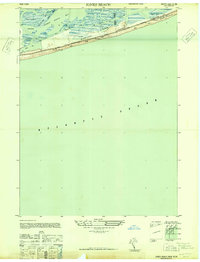
1947 Jones Beach
Nassau County, NY
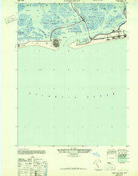
1947 Jones Inlet
Nassau County, NY
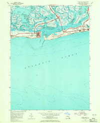
1954 Jones Inlet
Nassau County, NY
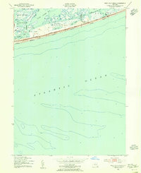
1954 West Gilgo Beach
Nassau County, NY
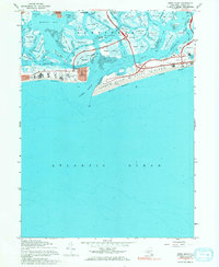
1967 Jones Inlet
Nassau County, NY
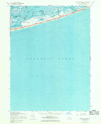
1967 West Gilgo Beach
Nassau County, NY
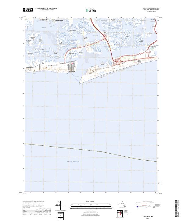
2023 Jones Inlet
Nassau County, NY
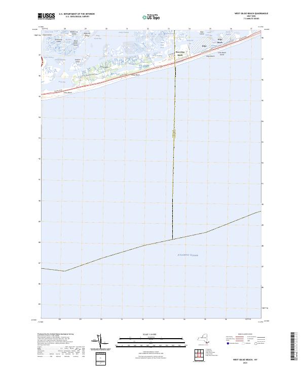
2023 West Gilgo Beach
Nassau County, NY