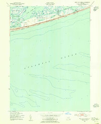
1954 Map of West Gilgo Beach
USGS Topo · Published 1965About this map
The Long Island barrier beach system is captured here in mid-century detail, centered on the isolated coastal community of West Gilgo Beach. The landscape is dominated by the strategic infrastructure of the State Parkway and Ocean Parkway, which trace the thin ribbon of sand between the Atlantic Ocean and the intricate marshlands of South Oyster Bay. This era of development highlights a careful balance between recreational expansion at Jones Beach State Park and conservation efforts within the Tobay Beach Bird and Game Sanctuary.
Find a feature on this map
26 named features on this map. Tap any name to fly to it.
Don’t see what you’re looking for? This feature index may not catch every label — zoom into the map to look around manually.
Map Details
Editions of this 1954 West Gilgo Beach Map
2 editions found
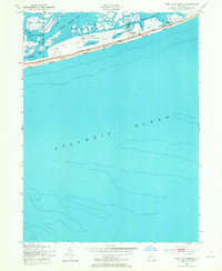
Other maps of this area

1897 · Hempstead
USGS Topo · 1:62,500

1898 · Hempstead
USGS Topo · 1:62,500

1899 · Hempstead
USGS Topo · 1:62,500

1901 · Babylon
USGS Topo · 1:62,500

1903 · Babylon
USGS Topo · 1:62,500

1903 · Hempstead
USGS Topo · 1:62,500

1904 · Islip
USGS Topo · 1:125,000
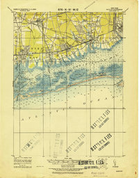
1919 · Babylon
USGS Topo · 1:62,500
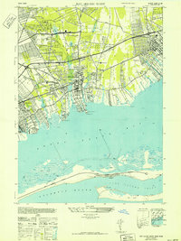
1941 · Bay Shore West
USGS Topo · 1:24,000

1942 · Islip
USGS Topo · 1:125,000