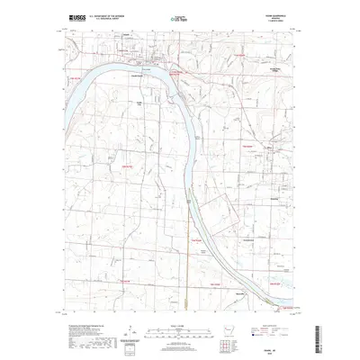
2020 Map of Ozark
USGS Topo · Published 2020About this map
The Franklin County Courthouse serves as the focal point of Ozark, situated at a sharp bend in the Arkansas River where the Ozark Bridge connects the northern bank to South Ozark and Webb City. This 2020 survey shows the river's path defined by Guthrie Island, Honea Island, and Moores Island, indicating a landscape deeply tied to the waterway. To the east, the map details the established wine-producing community of Wiederkehr Village and the nearby town of Altus, while the southern reaches follow the river down toward Roseville and the margins of Lake Dardanelle. Genealogists and local historians can locate several burial grounds across the hills, including Highland Cem, Pilot Grove Cem, and Liberty Cem. The inclusion of Winfield Airpark and numerous residential streets like Peach Orchard Ln reflects the area's continued modern development within its traditional river-and-rail corridor.
Find a feature on this map
93 named features on this map. Tap any name to fly to it.
Don’t see what you’re looking for? This feature index may not catch every label — zoom into the map to look around manually.
Map Details
Editions of this 2020 Ozark Map
This is the sole edition of this map. No revisions or reprints were ever made.
Other maps of this area

1879 · Cravens
USGS Topo · 1:62,500

1887 · Magazine Mountain #1
USGS Topo · 1:62,500

1887 · Magazine Mountain #2
USGS Topo · 1:62,500

1887 · Watalula
USGS Topo · 1:62,500

1887 · Magazine Mountain
USGS Topo · 1:62,500

1890 · Magazine Mountain
USGS Topo · 1:125,000

1906 · Batson
USGS Topo · 1:62,500

1939 · Watalula
USGS Topo · 1:62,500

1956 · Russellville
USGS Topo · 1:250,000

1961 · Coal Hill
USGS Topo · 1:24,000