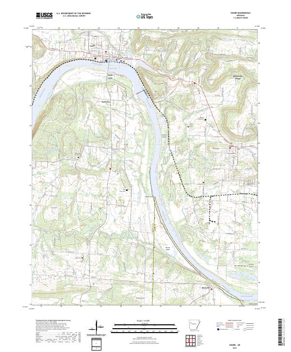
2024 Map of Ozark
USGS Topo · Published 2024About this map
The Arkansas River carves a dramatic path through the heart of Franklin County, defining the development of Ozark and its neighboring communities. This modern survey shows the river's transition into Ozark Lake and Lake Dardanelle, with several large river features such as Guthrie Island and Honea Island still clearly delineated. The landscape is a mix of urban street grids in the north and rural cemetery sites scattered across the southern hills, reflecting generations of local history.
Find a feature on this map
58 named features on this map. Tap any name to fly to it.
Don’t see what you’re looking for? This feature index may not catch every label — zoom into the map to look around manually.
Map Details
Editions of this 2024 Ozark Map
This is the sole edition of this map. No revisions or reprints were ever made.
Other maps of this area

1879 · Cravens
USGS Topo · 1:62,500

1887 · Magazine Mountain #1
USGS Topo · 1:62,500

1887 · Magazine Mountain #2
USGS Topo · 1:62,500

1887 · Watalula
USGS Topo · 1:62,500

1887 · Magazine Mountain
USGS Topo · 1:62,500

1890 · Magazine Mountain
USGS Topo · 1:125,000

1906 · Batson
USGS Topo · 1:62,500

1939 · Watalula
USGS Topo · 1:62,500

1956 · Russellville
USGS Topo · 1:250,000

1961 · Coal Hill
USGS Topo · 1:24,000