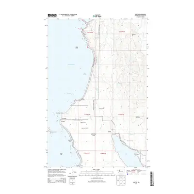
2014 Map of Ozette
USGS Topo · Published 2014About this map
Cape Alava and the westernmost edge of the continental United States define this coastal portion of Olympic National Park. The shoreline is a dense collection of seafaring landmarks, from the north at Point of Arches down to the petroglyph sites at Wedding Rocks. Inland, the landscape transitions from the salt spray of the Pacific Ocean to a complex network of coastal prairies and freshwater bodies, including Rooses Prairie, Ahlstroms Prairie, and the northern reaches of Ozette Lake.
Find a feature on this map
44 named features on this map. Tap any name to fly to it.
Don’t see what you’re looking for? This feature index may not catch every label — zoom into the map to look around manually.
Map Details
Editions of this 2014 Ozette Map
This is the sole edition of this map. No revisions or reprints were ever made.
Other maps of this area
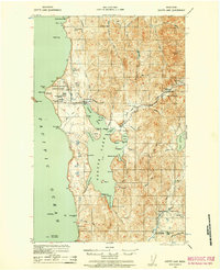
1935 · Ozette Lake
USGS Topo · 1:62,500
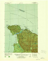
1938 · Cape Flattery
USGS Topo · 1:62,500
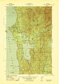
1942 · Ozette Lake
USGS Topo · 1:62,500
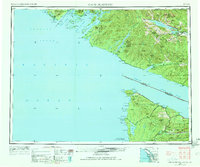
1953 · Cape Flattery
USGS Topo · 1:250,000
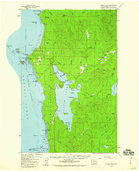
1956 · Ozette Lake
USGS Topo · 1:62,500
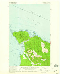
1957 · Cape Flattery
USGS Topo · 1:62,500
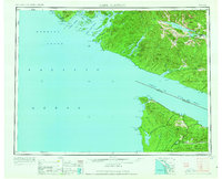
1963 · Cape Flattery
USGS Topo · 1:250,000
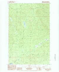
1984 · Umbrella Creek
USGS Topo · 1:24,000
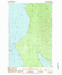
1984 · Ozette
USGS Topo · 1:24,000
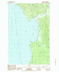
1984 · Makah Bay
USGS Topo · 1:24,000