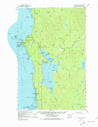
1956 Map of Ozette Lake
USGS Topo · Published 1978About this map
Ozette Lake dominates this coastal landscape, situated just inland from the westernmost point of the contiguous United States at Cape Alava. During the mid-1950s, this area remained largely remote, characterized by a mix of wilderness preservation and scattered private landholdings. The map documents the Ozette Indian Reservation and several historic clearings, including Rooses Prairie and Ahlstroms Prairie, which mark early settlement attempts. Along the Ozette River, the Royal School and multiple family homesteads like the Iverson Ranch and Person Ranch provide a record of rural life before more intensive conservation efforts.
Find a feature on this map
93 named features on this map. Tap any name to fly to it.
Don’t see what you’re looking for? This feature index may not catch every label — zoom into the map to look around manually.
Map Details
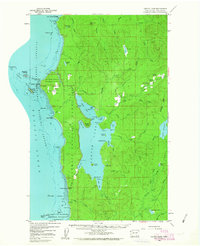
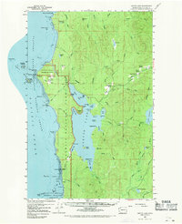
Editions of this 1956 Ozette Lake Map
4 editions found

Other maps of this area

1935 · Clallam
USGS Topo · 1:62,500

1935 · Ozette Lake
USGS Topo · 1:62,500

1935 · Lake Pleasant
USGS Topo · 1:62,500

1938 · Cape Flattery
USGS Topo · 1:62,500

1939 · Forks
USGS Topo · 1:62,500

1942 · Clallam
USGS Topo · 1:62,500

1942 · Ozette Lake
USGS Topo · 1:62,500

1942 · Lake Pleasant
USGS Topo · 1:62,500

1943 · Copalis Beach
USGS Topo · 1:250,000

1951 · Copalis Beach
USGS Topo · 1:250,000