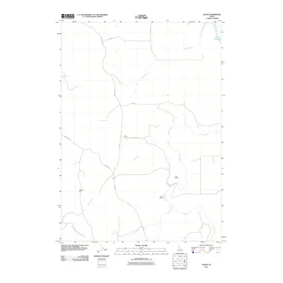
2010 Map of Ozone
USGS Topo · Published 2010About this map
Ozone and the small settlement of Last Chance occupy this high-desert landscape in Bonneville County, where a network of county roads like Bone Rd and Kepps Crossing Rd connect isolated homesteads and ranch lands. The terrain is defined by the deep drainage of Willow Creek, which receives numerous tributaries including Badger Creek, Noon Creek, and Rock Creek. These waterways cut through the plateau, leading toward the northern reaches of Ririe Reservoir. Landmarks such as Peterson Hill and Dry Hollow provide topographic orientation for researchers studying the land use and hydrology of this part of eastern Idaho. The map reveals the modern intersection of agriculture and water management, showing how local names like Kepps Crossing persist into the 21st century.
Find a feature on this map
18 named features on this map. Tap any name to fly to it.
Don’t see what you’re looking for? This feature index may not catch every label — zoom into the map to look around manually.
Map Details
Editions of this 2010 Ozone Map
This is the sole edition of this map. No revisions or reprints were ever made.
Other maps of this area
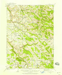
1924 · Hell Creek
USGS Topo · 1:62,500
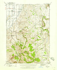
1924 · Ammon
USGS Topo · 1:62,500
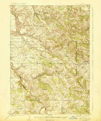
1926 · Hell Creek
USGS Topo · 1:62,500
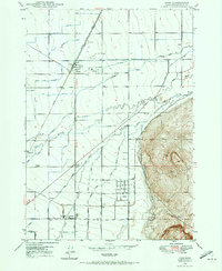
1948 · Ucon
USGS Topo · 1:24,000
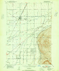
1949 · Ucon
USGS Topo · 1:24,000
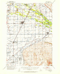
1950 · Rigby
USGS Topo · 1:62,500
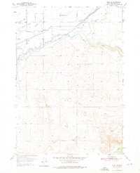
1950 · Rigby SE
USGS Topo · 1:24,000
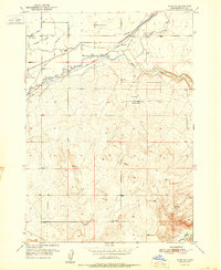
1951 · Rigby SE
USGS Topo · 1:24,000
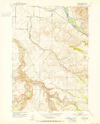
1951 · Poplar
USGS Topo · 1:24,000

1955 · Driggs
USGS Topo · 1:250,000