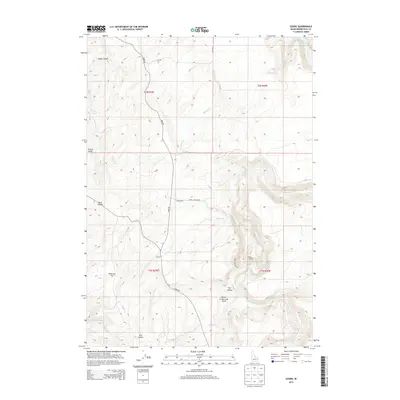
2013 Map of Ozone
USGS Topo · Published 2013About this map
Ozone and the small settlement of Last Chance occupy a landscape where volcanic history meets modern irrigation in Bonneville County. The eastern portion of the map is dominated by the Willow Creek Lava Field, a geologically distinct area that overlooks the winding path of Willow Creek. This waterway eventually feeds into the Ririe Reservoir at the northeastern corner of the quadrangle. Transportation through this high-elevation terrain is anchored by Bone Road, which navigates a series of ridges and valleys including Euchre Valley and Rock Hollow. The map captures the rugged intersection of natural features like Black Canyon and Peterson Hill with rural infrastructure such as Kepps Crossing Road and 9th Road South, reflecting the area's continued use for ranching and water management near the edge of the Snake River Plain.
Find a feature on this map
24 named features on this map. Tap any name to fly to it.
Don’t see what you’re looking for? This feature index may not catch every label — zoom into the map to look around manually.
Map Details
Editions of this 2013 Ozone Map
This is the sole edition of this map. No revisions or reprints were ever made.
Other maps of this area
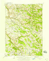
1924 · Hell Creek
USGS Topo · 1:62,500
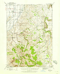
1924 · Ammon
USGS Topo · 1:62,500
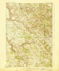
1926 · Hell Creek
USGS Topo · 1:62,500
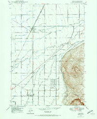
1948 · Ucon
USGS Topo · 1:24,000
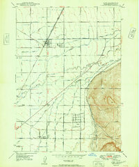
1949 · Ucon
USGS Topo · 1:24,000
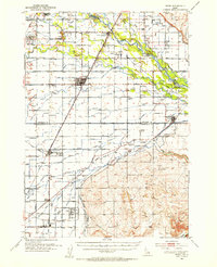
1950 · Rigby
USGS Topo · 1:62,500
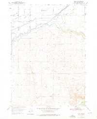
1950 · Rigby SE
USGS Topo · 1:24,000
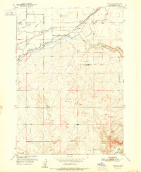
1951 · Rigby SE
USGS Topo · 1:24,000
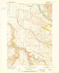
1951 · Poplar
USGS Topo · 1:24,000

1955 · Driggs
USGS Topo · 1:250,000