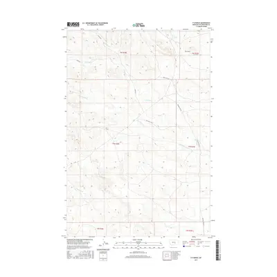
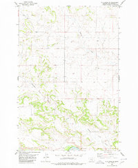
2017 Map of P K Ranch
USGS Topo · Published 2017About this map
P K Ranch serves as a central landmark in this portion of Yellowstone County, where the high plains of Montana are defined by a network of intermittent creeks and ranch access roads. The landscape is carved by drainage systems including Bullhead Cr, Dutch Oven Cr, and the extensive branches of Railroad Cr. These watercourses, though seasonal, dictated the placement of early travel routes like Old Route C A Rd and Marsh Ranch Rd. Near the northern boundary, Cow Gulch and C A Spring provide evidence of the water sources essential for livestock operations in this arid region. The map reflects a modern record of the Public Land Survey System, showing the township and range divisions that have organized this territory since the early days of Montana's ranching history.
Find a feature on this map
21 named features on this map. Tap any name to fly to it.
Don’t see what you’re looking for? This feature index may not catch every label — zoom into the map to look around manually.
Map Details
Editions of this 2017 P K Ranch Map
This is the sole edition of this map. No revisions or reprints were ever made.
Other maps of this area

1954 · Roundup
USGS Topo · 1:250,000

1958 · Roundup
USGS Topo · 1:250,000

1979 · Roundup
USGS Topo · 1:100,000
1980 · P K Ranch NE
USGS Topo · 1:24,000
1980 · Steamboat Butte
USGS Topo · 1:24,000

1980 · Cherry Spring
USGS Topo · 1:24,000

1980 · Dunn Mountain South
USGS Topo · 1:24,000
1980 · Cotton Creek
USGS Topo · 1:24,000

1980 · Dunn Mountain North
USGS Topo · 1:24,000
1980 · P K Ranch SE
USGS Topo · 1:24,000