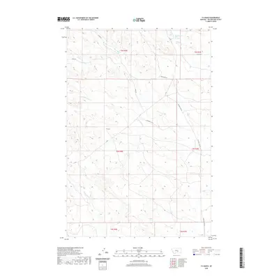
2020 Map of P K Ranch
USGS Topo · Published 2020About this map
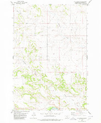
P K Ranch serves as a primary point of reference in this landscape of Yellowstone County, defined by its intricate network of seasonal drainage and named springs. The terrain is carved by the Dutch Oven Cr and Chunn-Dash Cr, while the winding course of Railroad Cr and its S Fork Railroad Cr suggest the historic influence of transit routes through these breaks. Water sources like the C A Spring and 06N28E25CA_01 Spring are essential landmarks in this semi-arid region.
Find a feature on this map
22 named features on this map. Tap any name to fly to it.
Don’t see what you’re looking for? This feature index may not catch every label — zoom into the map to look around manually.
Map Details
Editions of this 2020 P K Ranch Map
This is the sole edition of this map. No revisions or reprints were ever made.
Other maps of this area

1954 · Roundup
USGS Topo · 1:250,000

1958 · Roundup
USGS Topo · 1:250,000

1979 · Roundup
USGS Topo · 1:100,000
1980 · P K Ranch NE
USGS Topo · 1:24,000
1980 · Steamboat Butte
USGS Topo · 1:24,000

1980 · Cherry Spring
USGS Topo · 1:24,000

1980 · Dunn Mountain South
USGS Topo · 1:24,000
1980 · Cotton Creek
USGS Topo · 1:24,000

1980 · Dunn Mountain North
USGS Topo · 1:24,000
1980 · P K Ranch SE
USGS Topo · 1:24,000