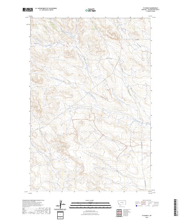
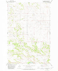
2024 Map of P K Ranch
USGS Topo · Published 2024About this map
C A Spring and the intricate drainage network of Railroad Creek define this section of Yellowstone County. The landscape is marked by a series of named waterways including Bullhead Creek, Dutch Oven Creek, and Churn Dash Creek, which carve through the terrain as they flow toward the surrounding basins. This contemporary survey highlights the persistence of traditional ranching and rural infrastructure, evidenced by named access routes such as Marsh Ranch Rd and Old Route C A Rd. While the area lacks dense settlements, the network of private and county roads like Railroad Creek Rd and Huffine Rd illustrates the modern connectivity required for managing these large territorial holdings. The map provides a clear record of the current land divisions across the t6n r28e and t5n r29e townships, where the topography transitions from the high ridges above Cow Gulch down into the winding creek beds.
Find a feature on this map
21 named features on this map. Tap any name to fly to it.
Don’t see what you’re looking for? This feature index may not catch every label — zoom into the map to look around manually.
Map Details
Editions of this 2024 P K Ranch Map
This is the sole edition of this map. No revisions or reprints were ever made.
Other maps of this area

1954 · Roundup
USGS Topo · 1:250,000

1958 · Roundup
USGS Topo · 1:250,000

1979 · Roundup
USGS Topo · 1:100,000
1980 · P K Ranch NE
USGS Topo · 1:24,000
1980 · Steamboat Butte
USGS Topo · 1:24,000

1980 · Cherry Spring
USGS Topo · 1:24,000

1980 · Dunn Mountain South
USGS Topo · 1:24,000
1980 · Cotton Creek
USGS Topo · 1:24,000

1980 · Dunn Mountain North
USGS Topo · 1:24,000
1980 · P K Ranch SE
USGS Topo · 1:24,000