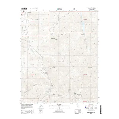
2015 Map of Pacifico Mountain
USGS Topo · Published 2015About this map
Soledad Pass and the surrounding high country of the San Gabriel Mountains dominate this 2015 survey, where the Mojave Desert meets the northern edge of the Los Angeles basin. The landscape is a network of steep ridgelines and deep drainages, including Soledad Canyon and Santiago Canyon, which channel water toward the Santa Clara River and the Little Rock Reservoir. Human activity is primarily concentrated at the northern margin near the settlement of Vincent, while the interior remains a protected wilderness within the Angeles National Forest. Significant for outdoor recreation and historical transit, the Pacific Crest National Scenic Trail winds through the southern half of the map, passing landmarks such as Mill Creek Summit and Pacifico Mtn. For local historians and genealogists, the map preserves the location of remote water sources like Kentucky Springs and Aliso Spring, alongside reminders of mineral exploration like Smokey Mine Rd.
Find a feature on this map
43 named features on this map. Tap any name to fly to it.
Don’t see what you’re looking for? This feature index may not catch every label — zoom into the map to look around manually.
Map Details
Editions of this 2015 Pacifico Mountain Map
This is the sole edition of this map. No revisions or reprints were ever made.
Other maps of this area

1900 · Tujunga
USGS Topo · 1:62,500

1901 · Southern California Sheet No. 1
USGS Topo · 1:250,000

1903 · Rock Creek
USGS Topo · 1:62,500

1904 · Southern California Sheet No. 1
USGS Topo · 1:250,000

1915 · Elizabeth Lake
USGS Topo · 1:125,000

1917 · Elizabeth Lake
USGS Topo · 1:125,000

1930 · Little Rock
USGS Topo · 1:24,000

1930 · Pearland
USGS Topo · 1:24,000

1932 · Palmdale
USGS Topo · 1:24,000

1934 · Pearland
USGS Topo · 1:24,000