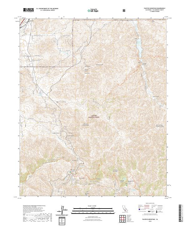
2022 Map of Pacifico Mountain
USGS Topo · Published 2022About this map
Angeles National Forest dominates this high-elevation landscape, where the ridges of the San Gabriel Mountains drop northward toward the Mojave Desert. The topography is defined by significant landmarks like Pacifico Mtn and Mill Creek Summit, serving as a critical junction for the Pacific Crest National Scenic Trail. Water sources in this arid environment are sparse but notable, including Kentucky Springs and Aliso Spring, while the Santa Clara River and Little Rock Wash drain the complex network of canyons.
Find a feature on this map
57 named features on this map. Tap any name to fly to it.
Don’t see what you’re looking for? This feature index may not catch every label — zoom into the map to look around manually.
Map Details
Editions of this 2022 Pacifico Mountain Map
This is the sole edition of this map. No revisions or reprints were ever made.
Other maps of this area

1900 · Tujunga
USGS Topo · 1:62,500

1901 · Southern California Sheet No. 1
USGS Topo · 1:250,000

1903 · Rock Creek
USGS Topo · 1:62,500

1904 · Southern California Sheet No. 1
USGS Topo · 1:250,000

1915 · Elizabeth Lake
USGS Topo · 1:125,000

1917 · Elizabeth Lake
USGS Topo · 1:125,000

1930 · Little Rock
USGS Topo · 1:24,000

1930 · Pearland
USGS Topo · 1:24,000

1932 · Palmdale
USGS Topo · 1:24,000

1934 · Pearland
USGS Topo · 1:24,000