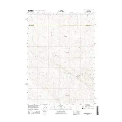
2015 Map of Packsaddle Creek
USGS Topo · Published 2015About this map
Murphy Dome Draw and the high point of Black Mtn characterize this high-desert landscape along the boundary of Washakie and Hot Springs counties. The topography is defined by significant hydrologic networks, with Packsaddle Cr, Mud Cr, and Lake Cr carving distinct drainages through the terrain. The central Lake Creek Divide serves as a primary geographic separator between these watershed systems.
Find a feature on this map
21 named features on this map. Tap any name to fly to it.
Don’t see what you’re looking for? This feature index may not catch every label — zoom into the map to look around manually.
Map Details
Editions of this 2015 Packsaddle Creek Map
This is the sole edition of this map. No revisions or reprints were ever made.
Other maps of this area

1952 · Rathbun Ranch
USGS Topo · 1:24,000

1952 · Bull Mountain
USGS Topo · 1:24,000

1955 · Arminto
USGS Topo · 1:250,000

1957 · Rathbun Ranch
USGS Topo · 1:24,000

1958 · Arminto
USGS Topo · 1:250,000

1960 · Coyote Hill
USGS Topo · 1:24,000
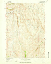
1960 · Blue Hill
USGS Topo · 1:24,000

1960 · Packsaddle Creek
USGS Topo · 1:24,000

1962 · Arminto
USGS Topo · 1:250,000
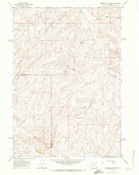
1966 · Zimmerman Buttes
USGS Topo · 1:24,000