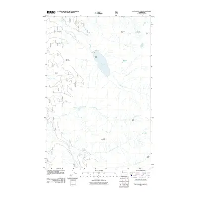
2011 Map of Packwood Lake
USGS Topo · Published 2011About this map
Packwood Lake sits at the heart of this high-elevation landscape, where the Packwood Dam and the Packwood Lake Resort mark the intersection of water management and wilderness recreation. This 2011 survey captures the hydrological network feeding the lake, including Lake Creek and Upper Lake Creek, set against the towering peaks of Snyder Mountain and Angry Mountain. The map details the infrastructure for modern backcountry exploration, featuring the Packwood Lake Trailhead, the Hager Lake Shelter, and the Lost Lake Lookout. To the south and east, the terrain rises into the Lily Basin and toward Johnson Peak, while smaller alpine waters like Glacier Lake, Heart Lake, and Mosquito Lake dot the surrounding basins.
Find a feature on this map
29 named features on this map. Tap any name to fly to it.
Don’t see what you’re looking for? This feature index may not catch every label — zoom into the map to look around manually.
Map Details
Editions of this 2011 Packwood Lake Map
This is the sole edition of this map. No revisions or reprints were ever made.
Other maps of this area

1902 · Mount Aix
USGS Topo · 1:125,000

1904 · Mt Aix
USGS Topo · 1:125,000

1904 · Mount Adams
USGS Topo · 1:125,000

1907 · Mount Adams
USGS Topo · 1:125,000

1924 · Mt Rainier
USGS Topo · 1:96,000

1926 · Steamboat Mtn
USGS Topo · 1:125,000

1928 · Mt Rainier
USGS Topo · 1:125,000

1931 · Steamboat Mtn
USGS Topo · 1:125,000

1950 · Yakima
USGS Topo · 1:250,000

1958 · Yakima
USGS Topo · 1:250,000