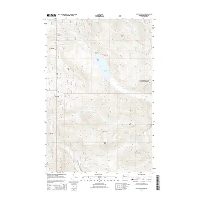
2014 Map of Packwood Lake
USGS Topo · Published 2014About this map
Packwood Lake serves as the central hub of this mountain landscape within the Gifford Pinchot National Forest. This 2014 survey documents the wilderness character of the area, featuring Agnes Island and the established Packwood Lake Resort on its shores. The presence of the Packwood Lake Trailhead and the Hager Lake Shelter illustrates the established recreational infrastructure that connects high-elevation water bodies like Glacier Lake and Heart Lake. The topography is defined by significant ridges and peaks, including Johnson Peak and the high elevations of Lily Basin. This data reflects the modern Forest Service management of the land, showing the network of access routes such as Nat For Dev Rd 48 and the complex drainage systems formed by Glacier Cr and Johnson Cr.
Find a feature on this map
39 named features on this map. Tap any name to fly to it.
Don’t see what you’re looking for? This feature index may not catch every label — zoom into the map to look around manually.
Map Details
Editions of this 2014 Packwood Lake Map
This is the sole edition of this map. No revisions or reprints were ever made.
Other maps of this area

1902 · Mount Aix
USGS Topo · 1:125,000

1904 · Mt Aix
USGS Topo · 1:125,000

1904 · Mount Adams
USGS Topo · 1:125,000

1907 · Mount Adams
USGS Topo · 1:125,000

1924 · Mt Rainier
USGS Topo · 1:96,000

1926 · Steamboat Mtn
USGS Topo · 1:125,000

1928 · Mt Rainier
USGS Topo · 1:125,000

1931 · Steamboat Mtn
USGS Topo · 1:125,000

1950 · Yakima
USGS Topo · 1:250,000

1958 · Yakima
USGS Topo · 1:250,000