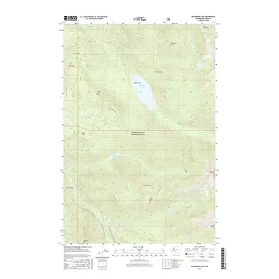
2017 Map of Packwood Lake
USGS Topo · Published 2017About this map
Packwood Lake sits at the heart of this high-elevation wilderness within the Gifford Pinchot National Forest. This 2017 survey details a landscape defined by dramatic topographical shifts, from the waters surrounding Agnes Island to the prominent heights of Snyder Mtn and Angry Mtn. The drainage system is remarkably intricate, with Lake Cr flowing from the primary lake while smaller bodies like Glacier Lake and Heart Lake occupy glacial cirques and high basins.
Find a feature on this map
45 named features on this map. Tap any name to fly to it.
Don’t see what you’re looking for? This feature index may not catch every label — zoom into the map to look around manually.
Map Details
Editions of this 2017 Packwood Lake Map
This is the sole edition of this map. No revisions or reprints were ever made.
Other maps of this area

1902 · Mount Aix
USGS Topo · 1:125,000

1904 · Mt Aix
USGS Topo · 1:125,000

1904 · Mount Adams
USGS Topo · 1:125,000

1907 · Mount Adams
USGS Topo · 1:125,000

1924 · Mt Rainier
USGS Topo · 1:96,000

1926 · Steamboat Mtn
USGS Topo · 1:125,000

1928 · Mt Rainier
USGS Topo · 1:125,000

1931 · Steamboat Mtn
USGS Topo · 1:125,000

1950 · Yakima
USGS Topo · 1:250,000

1958 · Yakima
USGS Topo · 1:250,000