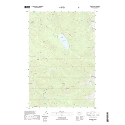
2020 Map of Packwood Lake
USGS Topo · Published 2020About this map
Packwood Lake sits at the center of this high-elevation landscape within the Gifford Pinchot National Forest, dominated by the steep slopes of Snyder Mtn and Angry Mountain. The presence of Agnes Island and the drainage patterns of Upper Lake Creek show the hydrologic importance of this basin to the region. The map reveals the infrastructure required to manage these highlands, including the Pipeline Road and the Z100 Snowmobile route. To the south and east, the terrain rises sharply toward Johnson Peak and Goat Ridge, bordering extensive natural basins like Lilly Basin and Jordan Basin. These features, alongside Glacier Lake and numerous creeks such as Beaver Bill Cr, characterize the complex alpine geography of Lewis County as it was documented in 2020.
Find a feature on this map
49 named features on this map. Tap any name to fly to it.
Don’t see what you’re looking for? This feature index may not catch every label — zoom into the map to look around manually.
Map Details
Editions of this 2020 Packwood Lake Map
This is the sole edition of this map. No revisions or reprints were ever made.
Other maps of this area

1902 · Mount Aix
USGS Topo · 1:125,000

1904 · Mt Aix
USGS Topo · 1:125,000

1904 · Mount Adams
USGS Topo · 1:125,000

1907 · Mount Adams
USGS Topo · 1:125,000

1924 · Mt Rainier
USGS Topo · 1:96,000

1926 · Steamboat Mtn
USGS Topo · 1:125,000

1928 · Mt Rainier
USGS Topo · 1:125,000

1931 · Steamboat Mtn
USGS Topo · 1:125,000

1950 · Yakima
USGS Topo · 1:250,000

1958 · Yakima
USGS Topo · 1:250,000