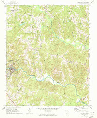
1969 Map of Pacolet Mills
USGS Topo · Published 1972About this map
Pacolet River carves a deep path through the Piedmont landscape of the South Carolina upstate, anchoring the industrial and residential centers of Pacolet Mills and Central Pacolet. In the late 1960s, these communities remained tied to the river's course and the Southern railroad line, while the surrounding countryside of Cherokee, Spartanburg, and Union Counties was dotted with small rural hubs. The map reveals a dense network of country churches and schools that served these farming communities, including Knuckles Chapel, Mulberry Ch, and the Tate Memorial Mission.
Find a feature on this map
48 named features on this map. Tap any name to fly to it.
Don’t see what you’re looking for? This feature index may not catch every label — zoom into the map to look around manually.
Map Details
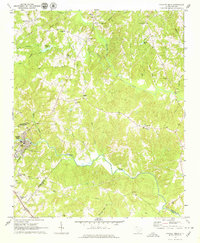
Editions of this 1969 Pacolet Mills Map
2 editions found
Other maps of this area

1909 · Gaffney
USGS Topo · 1:62,500

1941 · Spartanburg
USGS Topo · 1:250,000

1947 · Spartanburg
USGS Topo · 1:62,500

1949 · Spartanburg
USGS Topo · 1:62,500

1953 · Spartanburg
USGS Topo · 1:250,000

1953 · Charlotte
USGS Topo · 1:250,000

1954 · Charlotte
USGS Topo · 1:250,000

1959 · Cowpens
USGS Topo · 1:62,500

1960 · Charlotte
USGS Topo · 1:250,000

1960 · Spartanburg
USGS Topo · 1:250,000