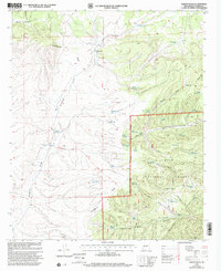
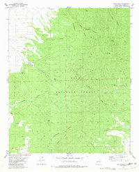
1999 Map of Paddys Hole
USGS Topo · Published 2002About this map
Continental Divide winds through this high-elevation landscape in the late 1990s, defining the rugged topography of the Gila National Forest. The map documents a sophisticated network of water management features essential for ranching and wildlife in the Black Range District, including Paddy's Hole, Lonesome Well, and numerous cattle tanks like Bathtub Tank and Dugout Tank.
Find a feature on this map
49 named features on this map. Tap any name to fly to it.
Don’t see what you’re looking for? This feature index may not catch every label — zoom into the map to look around manually.
Map Details
Editions of this 1999 Paddys Hole Map
This is the sole edition of this map. No revisions or reprints were ever made.
Other maps of this area

1954 · Tularosa
USGS Topo · 1:250,000

1958 · Tularosa
USGS Topo · 1:250,000

1965 · Oak Peak
USGS Topo · 1:24,000

1965 · Dusty
USGS Topo · 1:24,000

1965 · Wahoo Peak
USGS Topo · 1:24,000

1979 · San Mateo Mountains
USGS Topo · 1:100,000
1981 · Mojonera Canyon
USGS Topo · 1:24,000
1981 · Luera Mountains East
USGS Topo · 1:24,000
1981 · Paddys Hole
USGS Topo · 1:24,000
1981 · Wahoo Peak
USGS Topo · 1:24,000