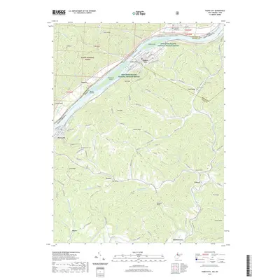
2019 Map of Paden City
USGS Topo · Published 2019About this map
The Ohio River defines the western edge of this West Virginia landscape, creating a distinct riparian corridor where the Ohio River Islands National Wildlife Refuge preserves Paden Island and Williamson Island. Settlement is concentrated along the riverbanks, notably in Paden City and Sistersville, where a grid of streets like Riverside Dr and Diamond St meets the water. To the west, the Wayne National Forest covers the steep terrain across the state line, while the West Virginia side is marked by a complex network of ridges and hollows.
Find a feature on this map
127 named features on this map. Tap any name to fly to it.
Don’t see what you’re looking for? This feature index may not catch every label — zoom into the map to look around manually.
Map Details
Editions of this 2019 Paden City Map
This is the sole edition of this map. No revisions or reprints were ever made.
Other maps of this area

1905 · West Union
USGS Topo · 1:62,500

1905 · New Matamoras
USGS Topo · 1:62,500

1906 · Saint Marys
USGS Topo · 1:62,500

1906 · New Martinsville
USGS Topo · 1:62,500

1924 · St Marys
USGS Topo · 1:62,500

1924 · New Martinsville
USGS Topo · 1:62,500

1924 · New Matamoras
USGS Topo · 1:62,500

1924 · West Union
USGS Topo · 1:62,500

1926 · New Martinsville
USGS Topo · 1:62,500

1926 · New Matamoras
USGS Topo · 1:62,500