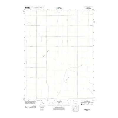
2010 Map of Padroni NW
USGS Topo · Published 2010About this map
Peetz Table dominates the central landscape of this Logan County quadrangle, where the high plains begin to break into the drainage systems of the South Platte River basin. The geography is defined by the sharp descent from this plateau into the Lewis Canyons, where Lewis Creek carves through the terrain. A strictly rectangular grid of county roads, such as County Rd-74 and County Rd-45, sections the agricultural land, reflecting the systematic land survey patterns of the American West. The solitary mention of Buss Ranch in the eastern sector serves as a reminder of the region's ranching heritage. Seasonal watercourses like Cow Creek in the north and Beall Creek in the southwest illustrate the intermittent hydrology of this high-plains environment during the early 21st century.
Find a feature on this map
23 named features on this map. Tap any name to fly to it.
Don’t see what you’re looking for? This feature index may not catch every label — zoom into the map to look around manually.
Map Details
Editions of this 2010 Padroni NW Map
This is the sole edition of this map. No revisions or reprints were ever made.
Other maps of this area

1951 · Iliff
USGS Topo · 1:24,000

1951 · Padroni NW
USGS Topo · 1:24,000

1952 · Padroni
USGS Topo · 1:24,000

1953 · Peetz
USGS Topo · 1:24,000

1954 · Sterling
USGS Topo · 1:250,000

1954 · Scottsbluff
USGS Topo · 1:250,000

1958 · Scottsbluff
USGS Topo · 1:250,000

1958 · Sterling
USGS Topo · 1:250,000

1972 · Easterly Airport
USGS Topo · 1:24,000

1972 · Lorenzo
USGS Topo · 1:24,000