
1951 Map of Iliff
USGS Topo · Published 1953About this map
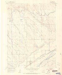
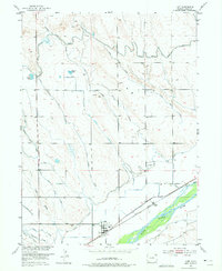
South Platte River bottomlands dominate the southern portion of this Logan County landscape, where the town of Iliff serves as a central hub for the Union Pacific railroad and a complex network of local irrigation. The map reveals the intricate water management required for high-plains agriculture in the early 1950s, showing the Iliff Ditch and Powell Ditch drawing from the river. To the north, the North Sterling Outlet Canal meanders through the breaks of Lewis Creek, illustrating how water was moved far from the primary river channel to support regional farming. Genealogy researchers will find the site of Selma (Aban'd) along the tracks northeast of town, a remnant of earlier settlement patterns. The terrain is marked by numerous lateral canals, including North Sterling No 21 Lateral, and distinctive landmarks like McKenzie Pond and Larson Pond.
Find a feature on this map
23 named features on this map. Tap any name to fly to it.
Don’t see what you’re looking for? This feature index may not catch every label — zoom into the map to look around manually.
Map Details
Editions of this 1951 Iliff Map
3 editions found
Other maps of this area

1951 · Sterling North
USGS Topo · 1:24,000

1951 · Galien
USGS Topo · 1:24,000

1951 · Padroni NW
USGS Topo · 1:24,000

1952 · Padroni
USGS Topo · 1:24,000

1953 · Peetz
USGS Topo · 1:24,000

1953 · Proctor
USGS Topo · 1:24,000

1953 · Haystack Butte
USGS Topo · 1:24,000

1954 · Sterling
USGS Topo · 1:250,000

1958 · Sterling
USGS Topo · 1:250,000

1962 · Uhler Ranch
USGS Topo · 1:24,000