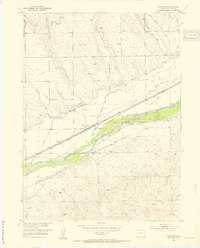
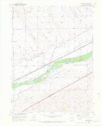
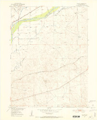
1953 Map of Proctor
USGS Topo · Published 1954About this map
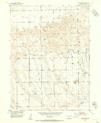
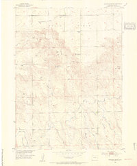
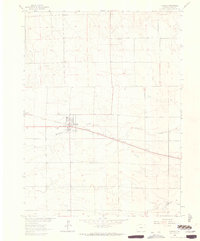
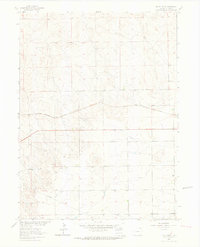
South Platte River flows through this Logan County landscape, flanked by an intricate network of irrigation systems and early conservation efforts. In the mid-1950s, the small settlement of Proctor serves as a focal point along the Union Pacific railroad, illustrating the vital connection between rail transport and the agricultural economy of the Missouri River Basin. The presence of the Colorado Game and Fish Reserve indicates early environmental management along the river's fertile banks.
Find a feature on this map
18 named features on this map. Tap any name to fly to it.
Don’t see what you’re looking for? This feature index may not catch every label — zoom into the map to look around manually.
Map Details
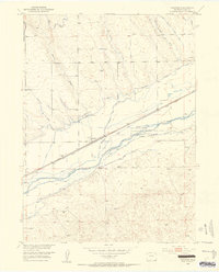
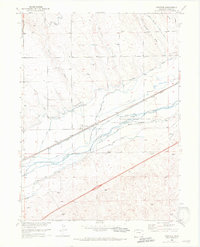
Editions of this 1953 Proctor Map
5 editions found

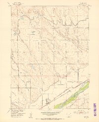
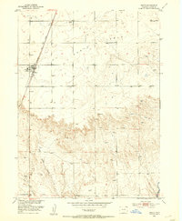
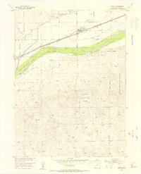
Other maps of this area
1951 · Galien
USGS Topo · 1:24,000
1951 · Iliff
USGS Topo · 1:24,000
1953 · Peetz
USGS Topo · 1:24,000
1953 · Crook
USGS Topo · 1:24,000
1953 · Twin Buttes
USGS Topo · 1:24,000
1953 · Haystack Butte
USGS Topo · 1:24,000

1954 · Sterling
USGS Topo · 1:250,000

1958 · Sterling
USGS Topo · 1:250,000
1962 · Fleming
USGS Topo · 1:24,000
1962 · Uhler Ranch
USGS Topo · 1:24,000