
1962 Map of Fleming
USGS Topo · Published 1963About this map
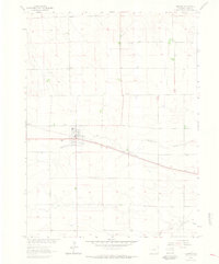
Fleming serves as the primary hub of activity in this 1960s Logan County landscape, centered on a grid that includes the Fleming Cem and an Athletic Field. The town’s position is defined by the Chicago Burlington and Quincy railroad, which runs straight across the prairie toward the southeast. This corridor represents the vital grain-shipping and transport link for the region, where infrastructure like a Substation, Water Tank, and Sewage Disposal facility mark the progress of the local municipality.
Find a feature on this map
13 named features on this map. Tap any name to fly to it.
Don’t see what you’re looking for? This feature index may not catch every label — zoom into the map to look around manually.
Map Details
Editions of this 1962 Fleming Map
3 editions found
Other maps of this area

1953 · Tamarack Ranch
USGS Topo · 1:24,000

1953 · Crook
USGS Topo · 1:24,000

1953 · Proctor
USGS Topo · 1:24,000

1954 · Sterling
USGS Topo · 1:250,000

1958 · Sterling
USGS Topo · 1:250,000

1962 · Uhler Ranch
USGS Topo · 1:24,000

1962 · Haxtun West
USGS Topo · 1:24,000

1972 · St Petersburg
USGS Topo · 1:24,000

1972 · Rockland
USGS Topo · 1:24,000

1972 · Leroy
USGS Topo · 1:24,000