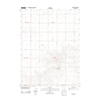
2013 Map of Padroni NW
USGS Topo · Published 2013About this map
Peetz Table dominates the central portion of this Logan County landscape, representing the high plains plateau before the terrain drops off into the drainage networks to the south and north. The area is defined by a rigid section-line road system, including CO Road 78 and CO Road 66, which carve the prairie into a distinct agricultural grid typical of the region's land management. To the southeast, the topography becomes significantly more complex where the land breaks into the Lewis Canyons, a series of draws and ridges shaped by the erosive action of Lewis Creek. This 2013 survey also documents Buss Ranch near the canyon edge and the course of Cow Creek in the northwest, illustrating the essential relationship between sparse water sources and ranching outposts in this part of Colorado.
Find a feature on this map
28 named features on this map. Tap any name to fly to it.
Don’t see what you’re looking for? This feature index may not catch every label — zoom into the map to look around manually.
Map Details
Editions of this 2013 Padroni NW Map
This is the sole edition of this map. No revisions or reprints were ever made.
Other maps of this area

1951 · Iliff
USGS Topo · 1:24,000

1951 · Padroni NW
USGS Topo · 1:24,000

1952 · Padroni
USGS Topo · 1:24,000

1953 · Peetz
USGS Topo · 1:24,000

1954 · Sterling
USGS Topo · 1:250,000

1954 · Scottsbluff
USGS Topo · 1:250,000

1958 · Scottsbluff
USGS Topo · 1:250,000

1958 · Sterling
USGS Topo · 1:250,000

1972 · Easterly Airport
USGS Topo · 1:24,000

1972 · Lorenzo
USGS Topo · 1:24,000