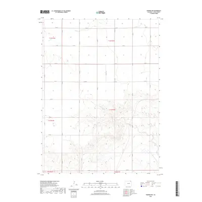
2019 Map of Padroni NW
USGS Topo · Published 2019About this map
The high plains of Logan County are defined by a regular grid of section lines and gravel routes, including Co Rd 78 and Co Rd 74, which traverse the open landscape. This 2019 survey documents a region of subtle topographic shifts where drainage patterns like Cow Cr and Lewis Creek carve shallow paths through the prairie. The map provides a precise record of the Public Land Survey System township and range boundaries, such as t12n r52w and t11n r53w, which dictate the local property and road layouts. For researchers, this document captures the modern state of these rural corridors and watercourses, including the varying reaches of Lewis Cr, before further changes to the agricultural or pastoral land use in this corner of Colorado.
Find a feature on this map
17 named features on this map. Tap any name to fly to it.
Don’t see what you’re looking for? This feature index may not catch every label — zoom into the map to look around manually.
Map Details
Editions of this 2019 Padroni NW Map
This is the sole edition of this map. No revisions or reprints were ever made.
Other maps of this area

1951 · Iliff
USGS Topo · 1:24,000

1951 · Padroni NW
USGS Topo · 1:24,000

1952 · Padroni
USGS Topo · 1:24,000

1953 · Peetz
USGS Topo · 1:24,000

1954 · Sterling
USGS Topo · 1:250,000

1954 · Scottsbluff
USGS Topo · 1:250,000

1958 · Scottsbluff
USGS Topo · 1:250,000

1958 · Sterling
USGS Topo · 1:250,000

1972 · Easterly Airport
USGS Topo · 1:24,000

1972 · Lorenzo
USGS Topo · 1:24,000