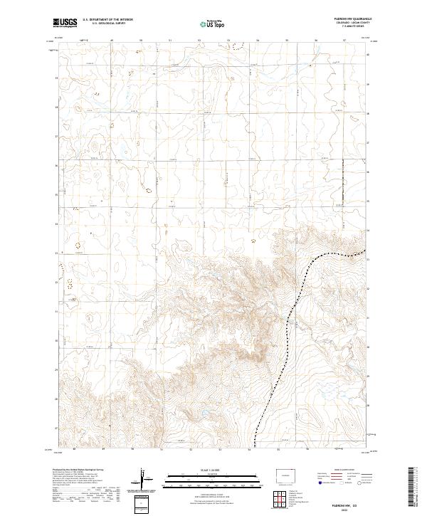
2022 Map of Padroni NW
USGS Topo · Published 2022About this map
Logan County, Colorado, is defined by the high plains landscape and the drainages of the South Platte River basin in this recent topographic survey. The area is dominated by the seasonal paths of Cow Cr in the north and the more prominent Lewis Creek which cuts through the southern half of the quadrangle. This is a region of vast ranching tracts and agricultural grids, where human presence is primarily marked by a network of county roads. The map detail highlights the relationship between the natural topography and the rectilinear survey lines, with Co RD 78 and Co RD 74 providing essential east-west transit across the undulating terrain. A dense series of contour lines along the southern banks of Lewis Cr reveals a more complex landscape of draws and ridges, distinct from the flatter sections found toward the northern boundary.
Find a feature on this map
18 named features on this map. Tap any name to fly to it.
Don’t see what you’re looking for? This feature index may not catch every label — zoom into the map to look around manually.
Map Details
Editions of this 2022 Padroni NW Map
This is the sole edition of this map. No revisions or reprints were ever made.
Other maps of this area

1951 · Iliff
USGS Topo · 1:24,000

1951 · Padroni NW
USGS Topo · 1:24,000

1952 · Padroni
USGS Topo · 1:24,000

1953 · Peetz
USGS Topo · 1:24,000

1954 · Sterling
USGS Topo · 1:250,000

1954 · Scottsbluff
USGS Topo · 1:250,000

1958 · Scottsbluff
USGS Topo · 1:250,000

1958 · Sterling
USGS Topo · 1:250,000

1972 · Easterly Airport
USGS Topo · 1:24,000

1972 · Lorenzo
USGS Topo · 1:24,000